
Roadtrip Diary: Alabama to Ohio, and back to California
Posted by James & Myke Savage, on Jan 6, 2025.
Note:
Feel free to zoom in. All photos are in high resolution, and the panoramas look great on a widescreen display.
Interlude Day 1: Dec 27th (AL, GA, TN, KY, OH)
After wrapping up a fun Christmas with Myke’s family in Alabama, we got on the road for a “short” trip up to Ohio. This could have been a one day affair, but we decided to pad it out and see a few more friends, making Milford, OH our destination for the night. We somehow managed to wake up and leave on time (09:30), and headed to our first stop of a Zaxby’s in Georgia, to meet up with Myke’s friend Justin. We initially wanted to check out this new chicken finger place named Guthrie’s but when we got there, that location was drive-through only and it was pretty cold. Fortunately Zaxby’s was just right across the street. Lunch was sadly not near any chargers, so afterwards we drove a quick 45 minutes to a charging stop.
This leg of the trip is where our luck with the weather started to break. Despite being midday, clouds rolled in, and along with rain made it feel like dusk. It was still easy going through about half of Tennessee, though the rain picked up as we crossed the state. By the time we reached the Kentucky border, we were mostly going around 55 mph due to the rain.
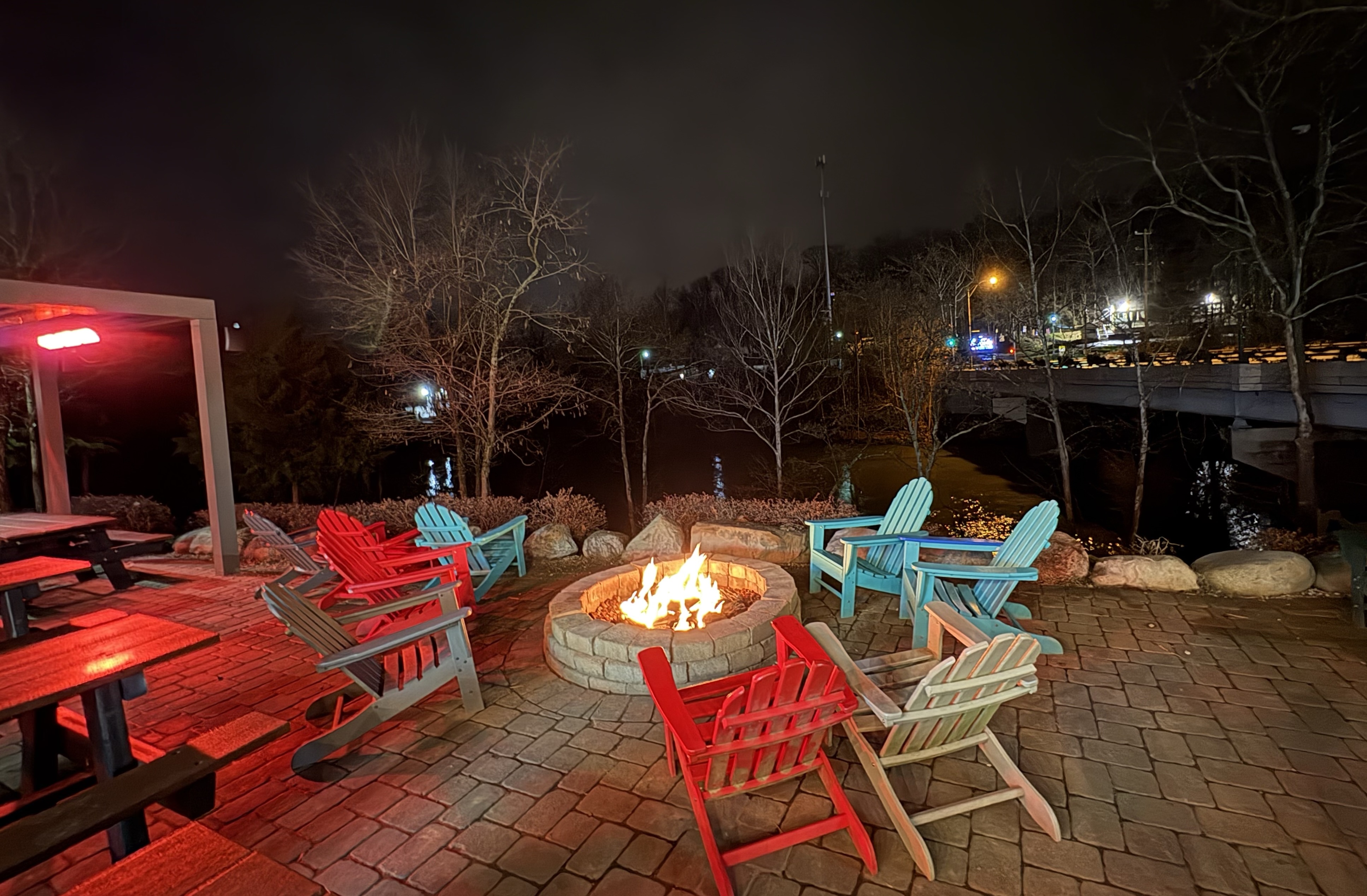
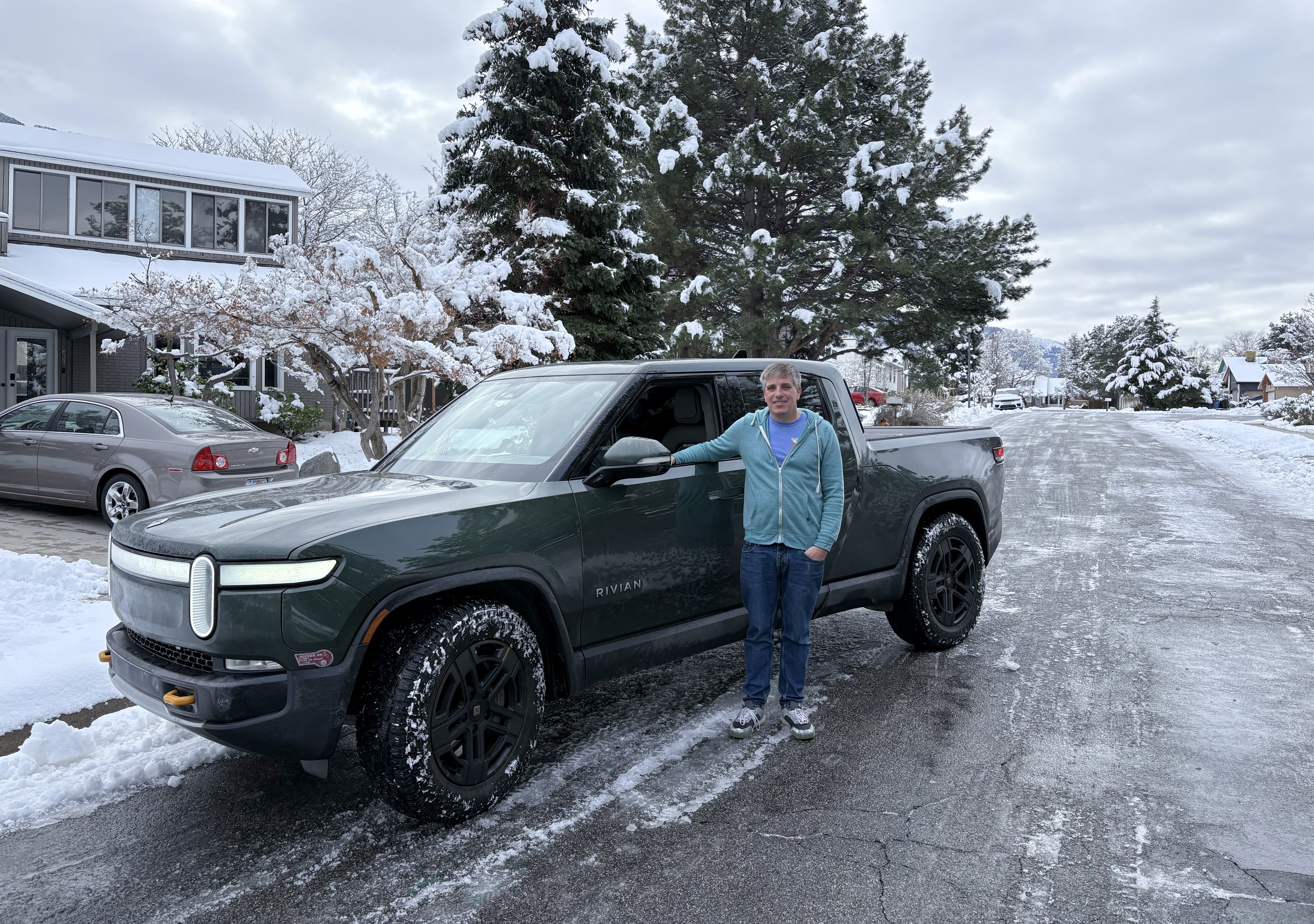
Despite the inclement weather, we didn’t run into any real issues, but we did arrive a little late. Emily was kind enough to roll with our schedule, and when we finally got in to Ohio (at around 23:00) we decided on meeting at the Little Miami Brewing Company. It was a fun spot on the Little Miami River, and even at night we could see a bit of the water. Chelsea was welcome on the patio as well, and they had space heaters which were perfect.
After staying up (a bit) later than we planned, we headed off to our hotel, another 20 minutes away. The hotel had Tesla Level 2 chargers, but they didn’t work. But fortunately, another hotel across the street also had a Tesla charger that did. This let us fill up overnight, so we could head out straight away in the morning.
Interlude Day 2: Dec 28th (OH)
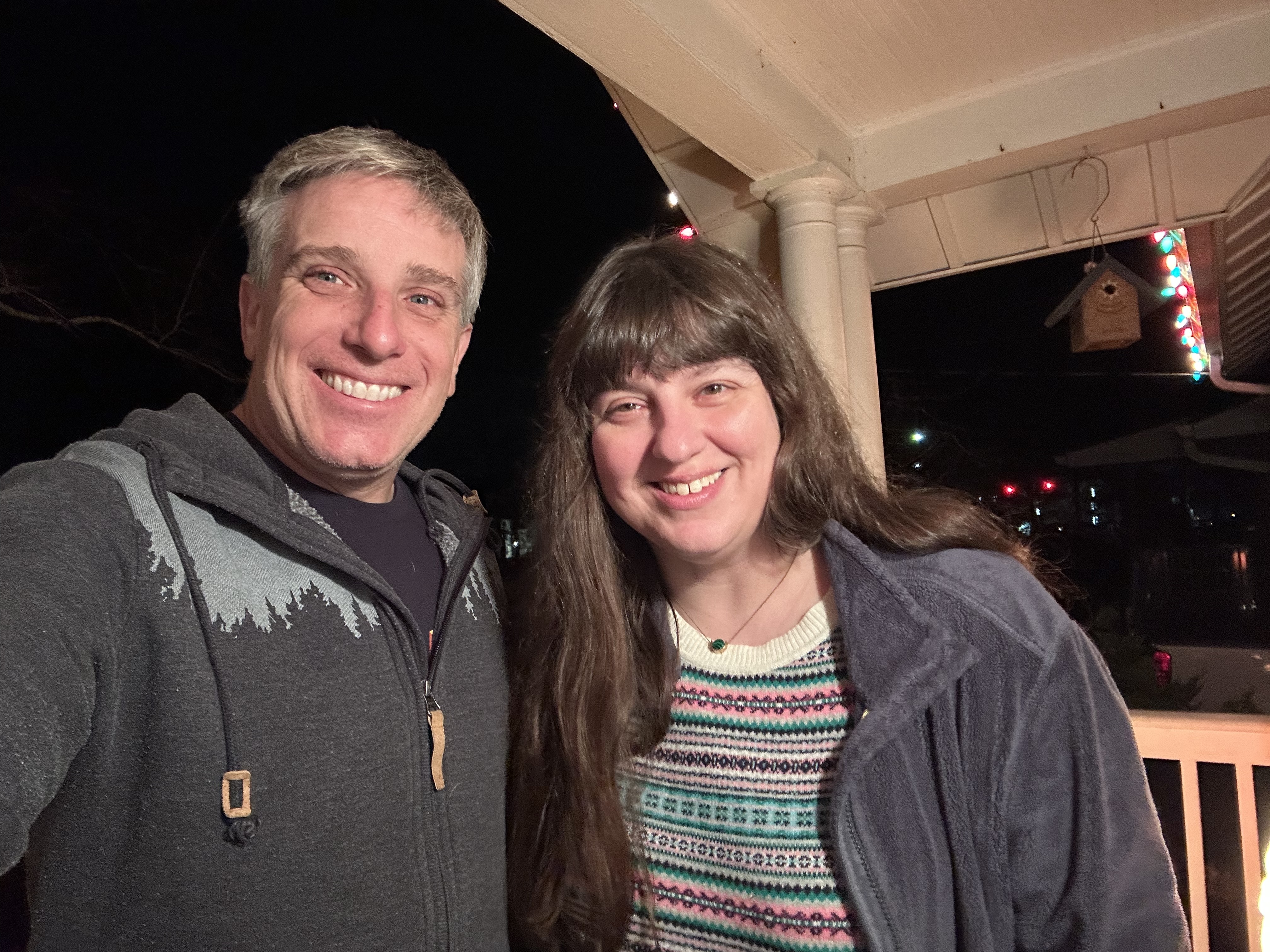
Having come so far, we didn’t have much left to drive today. It’d just be a short three hours to James’s parent’s home. But first we had made plans to see some of James’s friends, Doug and Janelle, for coffee in Dayton. Doug recommended a spot called ContempoRoast, which had good breakfast pastries and even better coffee. James even picked up one of their coffees, a strawberry co-ferment (archived link). We had a great time catching up, so much so that we went a little past when we had intended to start driving, but we hadn’t seen either Doug or Janelle since our anniversary.
Once we finally said our goodbyes we hopped back in the truck and proceeded to make good time on our way through Columbus. The rain had all blown over the night before, and though there were still some clouds in the sky, everything was dry and easy driving.
Onwards to California
We spent the next several days hanging out with James’s parents, during which time we got to see Maria, experience a day-long power outage due to wind, and celebrate New Years Eve with family, Pizza Hut pizza, and Anderson Cooper on TV. Chelsea had a good time playing with Mia (James’s parents’ dog), although their cat hid away from her as usual. Before we knew it though, it was time to pack up the truck (which Myke did an excellent job of fitting in many more boxes than James though possible) and start the long trip home.
Day 1: Jan 2nd (OH, IN, IL, IA)
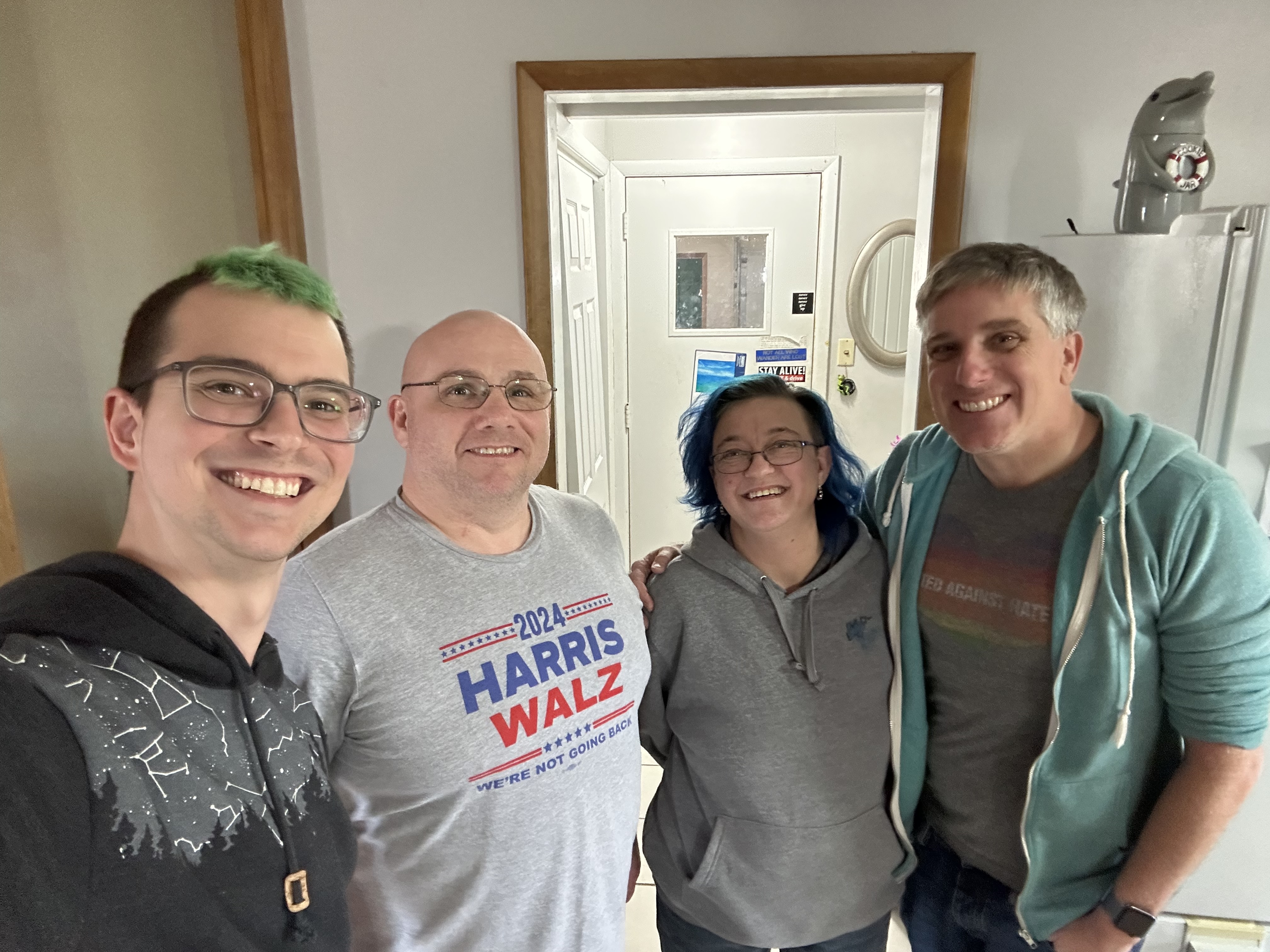
We said our goodbyes to James’s parents and hit the road West. The first stop on our way was to visit Z, a friend of Myke’s, and their husband Eric in Lima, OH, which was only about 2.5 hours away. It was great to catch up, and not only because they made homemade chicken fingers for us! Along with some potato wedges and steamed broccoli, it was the perfect meal, especially after so much fast food.
We drove through the northern part of Indiana – stopping in Fort Wayne and Michigan City – so James wasn’t familiar with the scenery but it did still look very much like Indiana.
After stopping to charge one last time in Bettendorf, IA (just over the border from Illinois), we managed to get in to our hotel around midnight. It was a bit later than we had hoped, but not too bad. We’re not sure where the day got to!
Day 2: Jan 3rd (IA, NE)

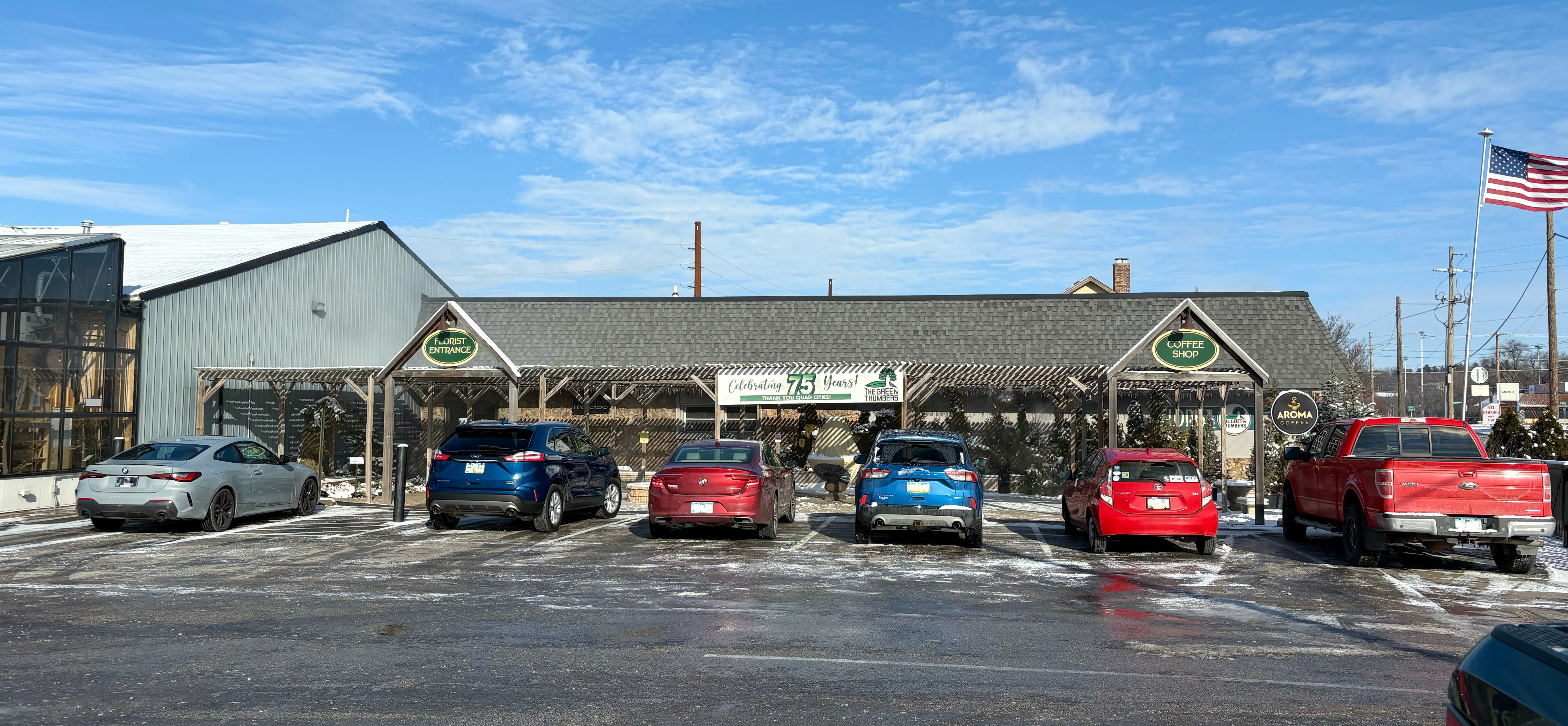
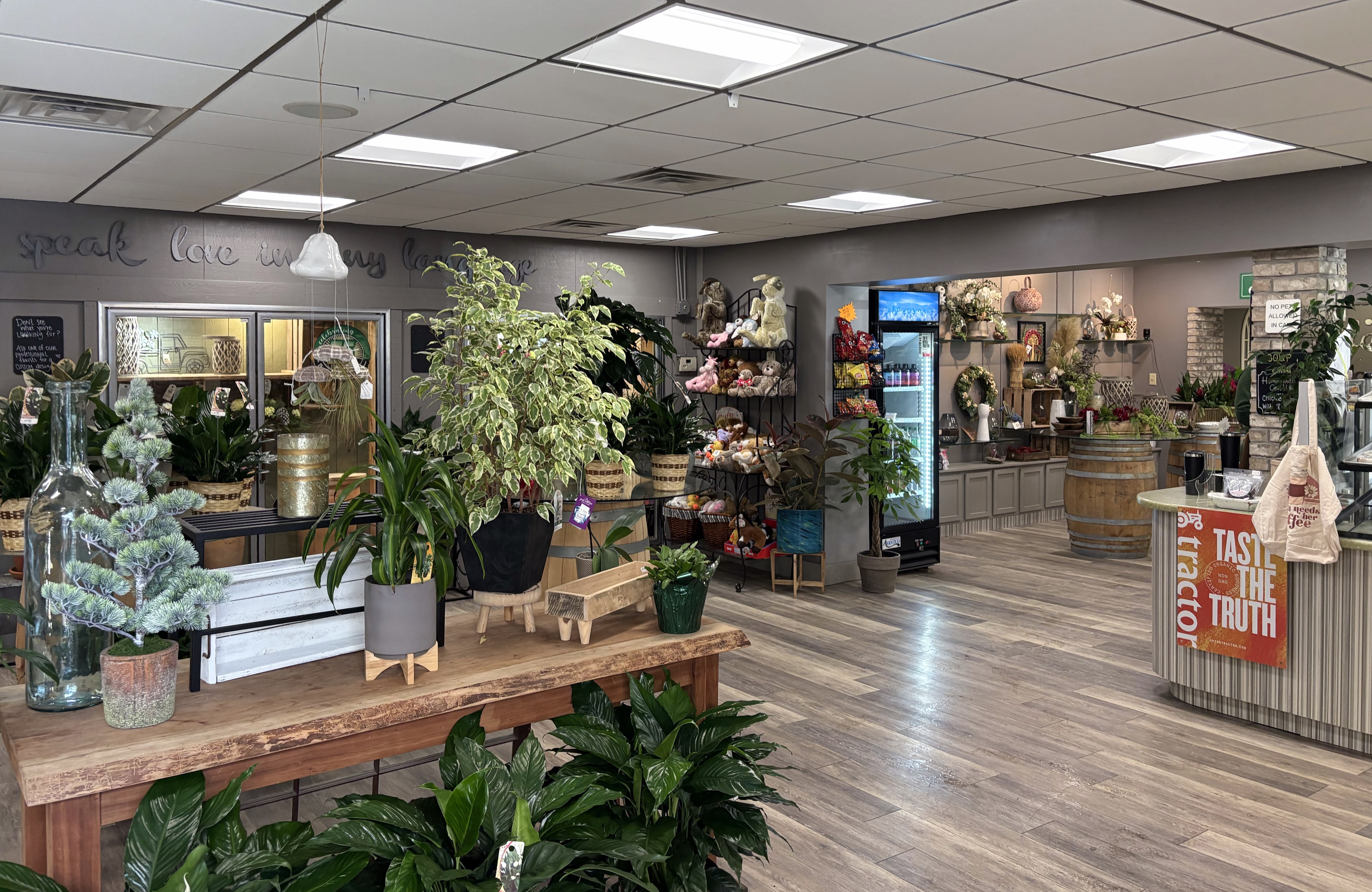
James’s first goal every morning was finding coffee, and today’s spot was (rather unexpectedly) inside a garden supply store. Myke got a hot chocolate while James tried their seasonal praline shortbread latte. It looked like they had some good food too, but we just grabbed some scones for the road. I’d be lying if I said that the bear photo in their Yelp reviews didn’t draw me in a little, but the coffee was solid too.
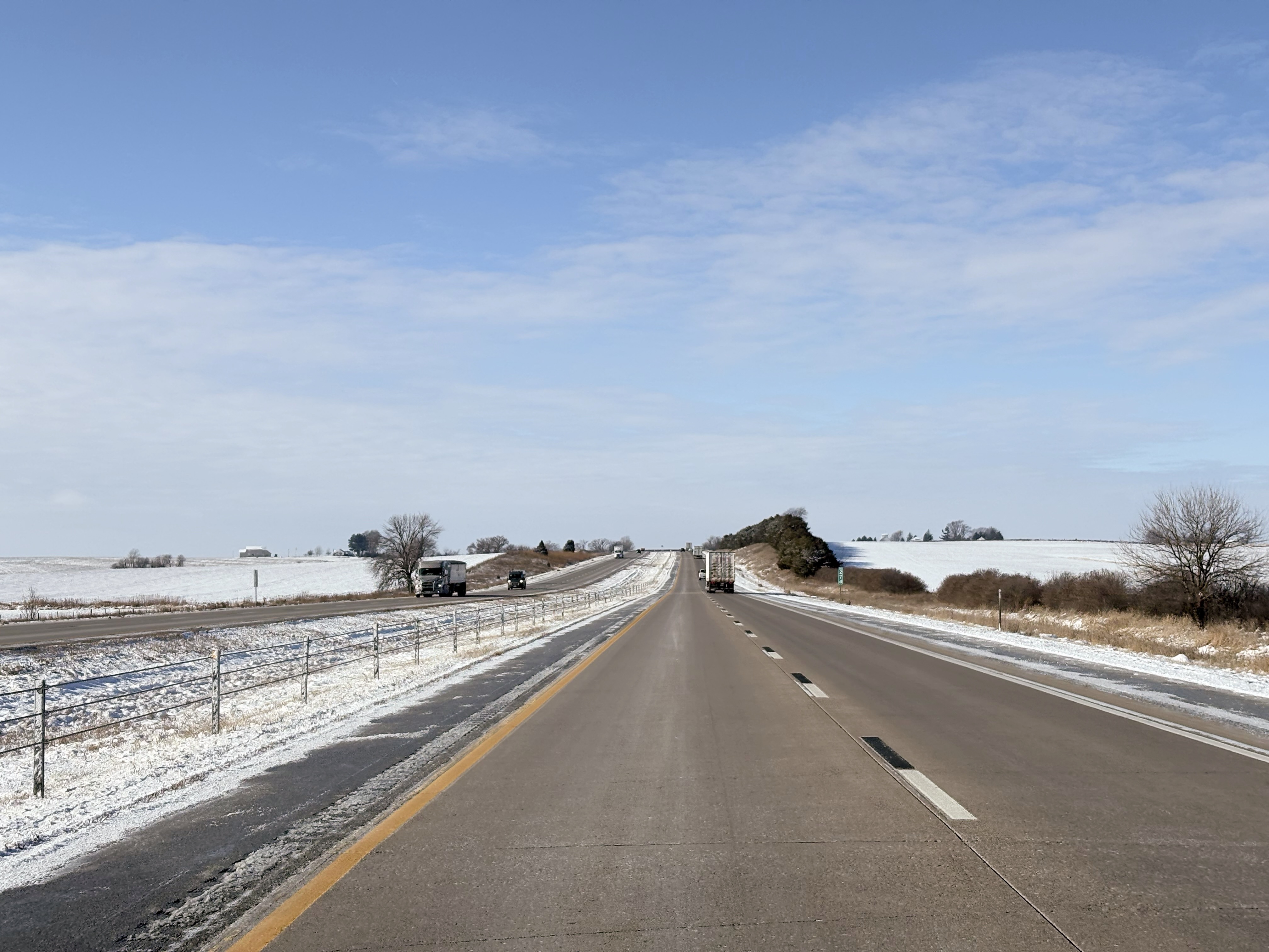
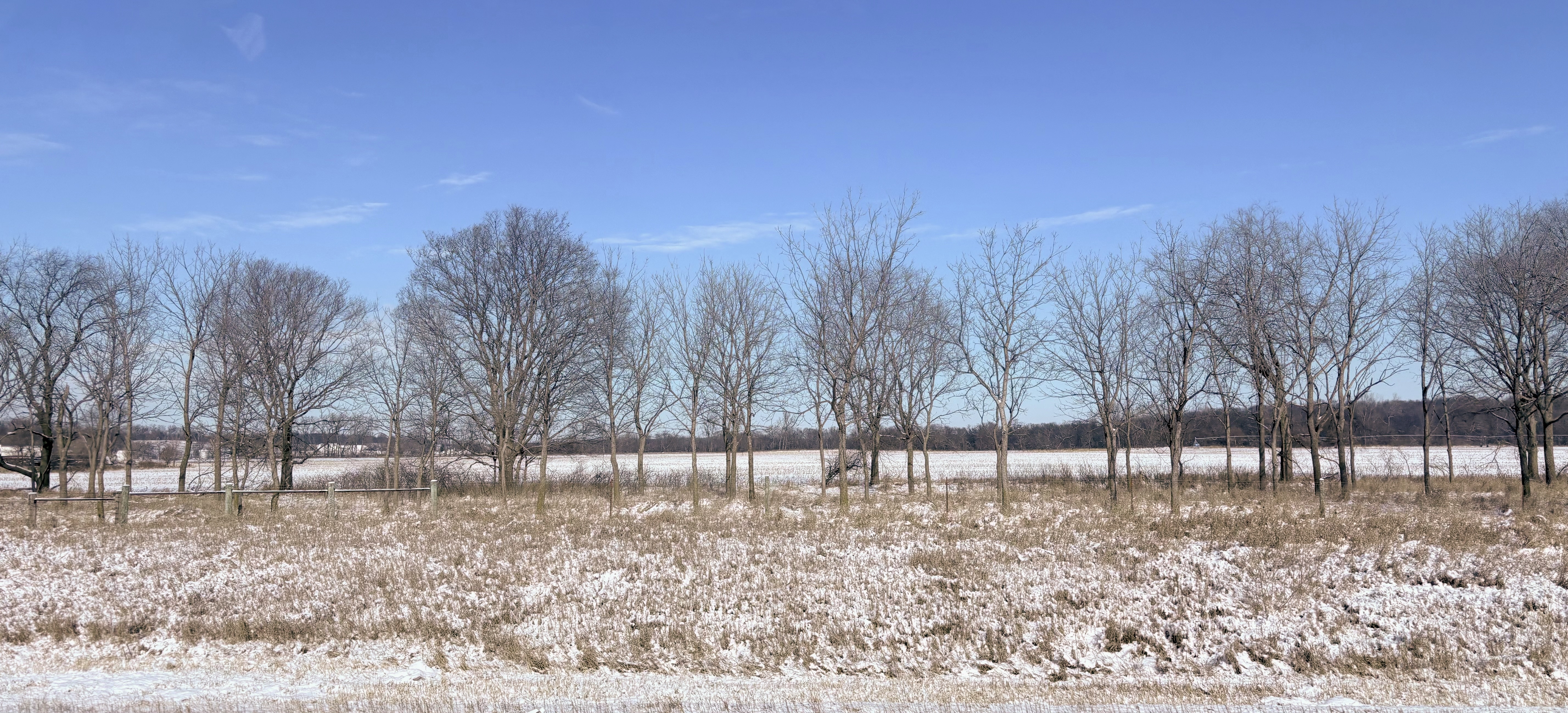
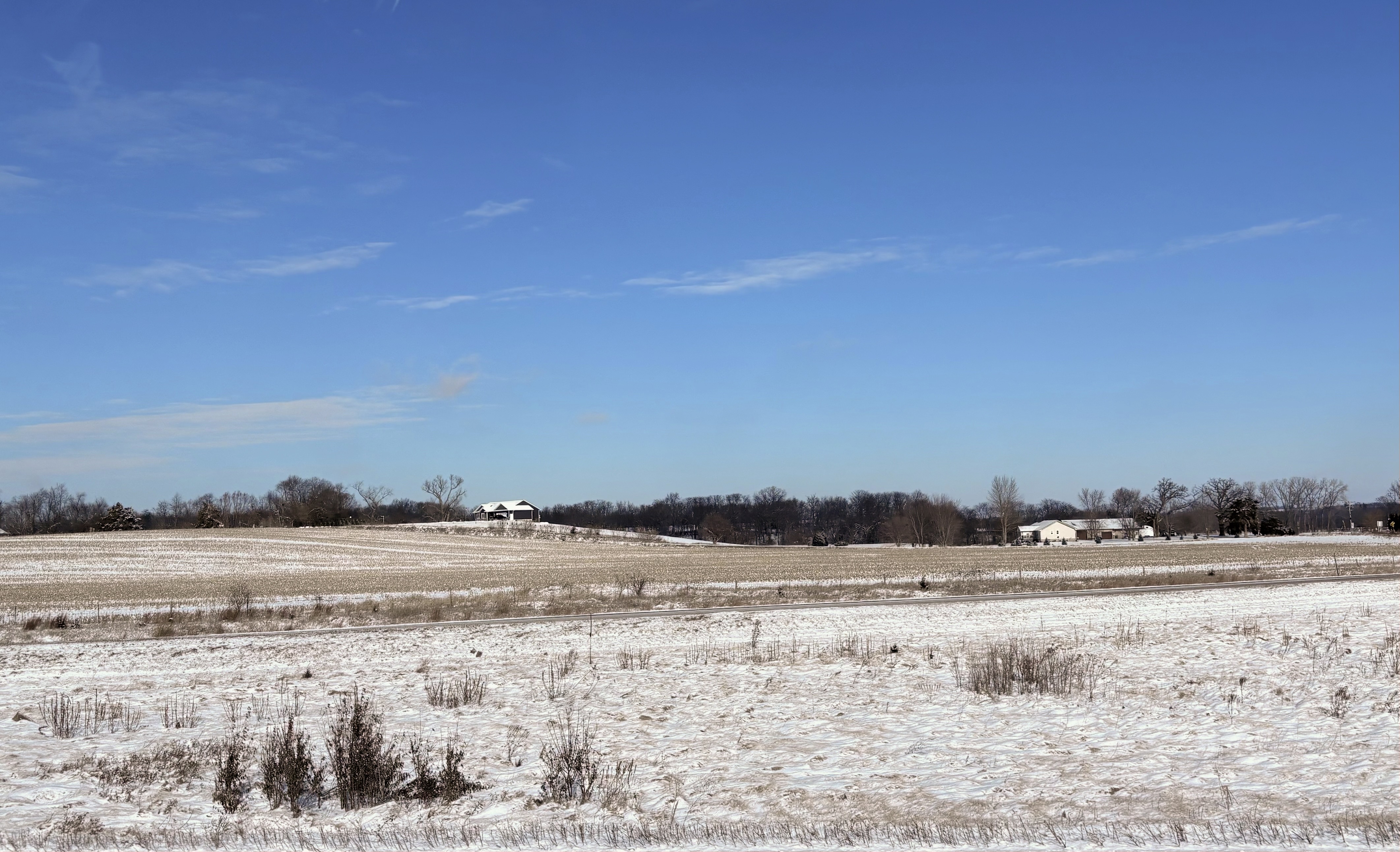
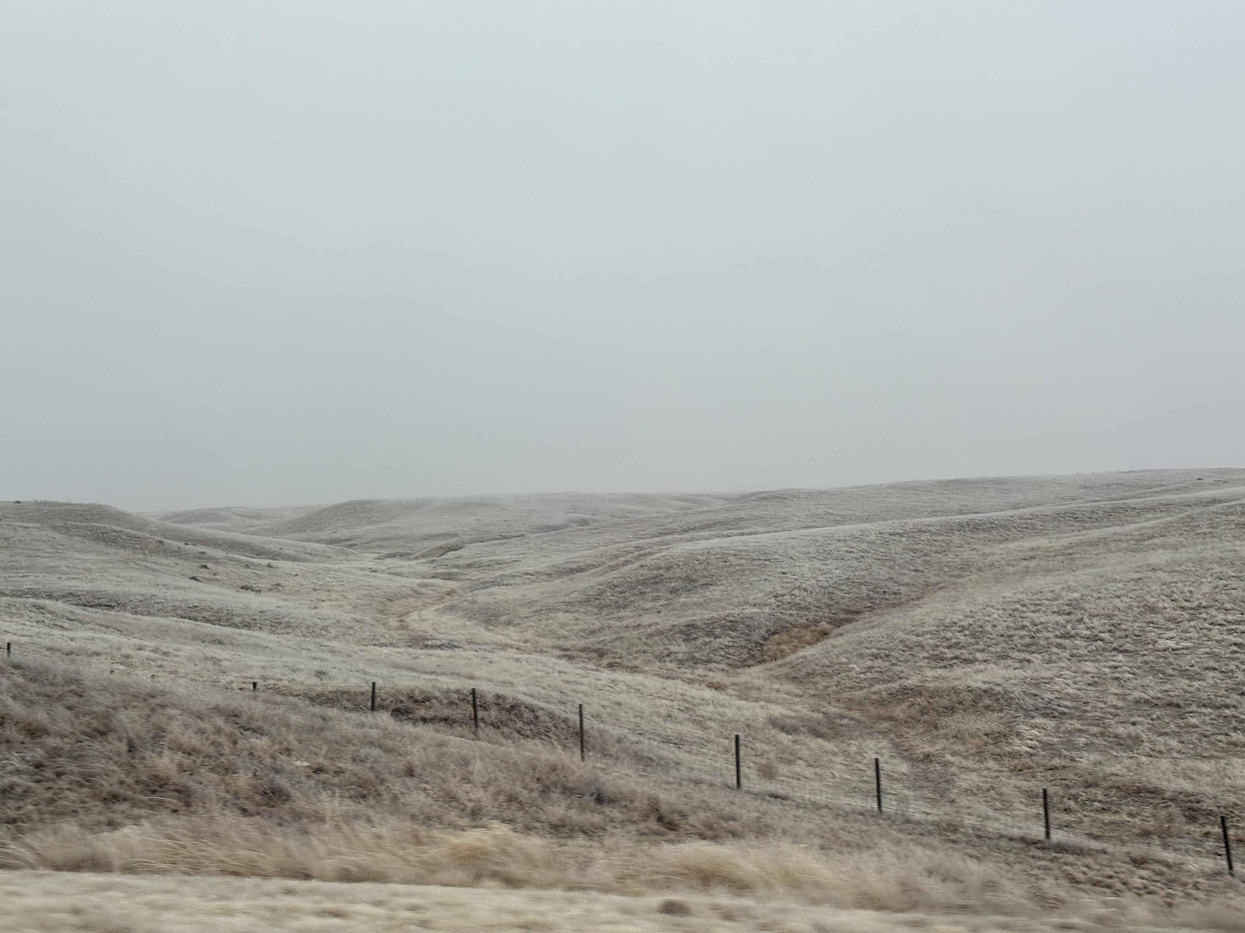
Driving today wasn’t too bad, but we were starting to see our first hints of winter weather since leaving Ohio. There had been snow and ice outside our hotel in the morning, and continuing on we saw it pile up more and more beside the highway. This made for some nice winter landscapes, rolling snow-covered fields with farmhouses, but besides that there really wasn’t much to see.
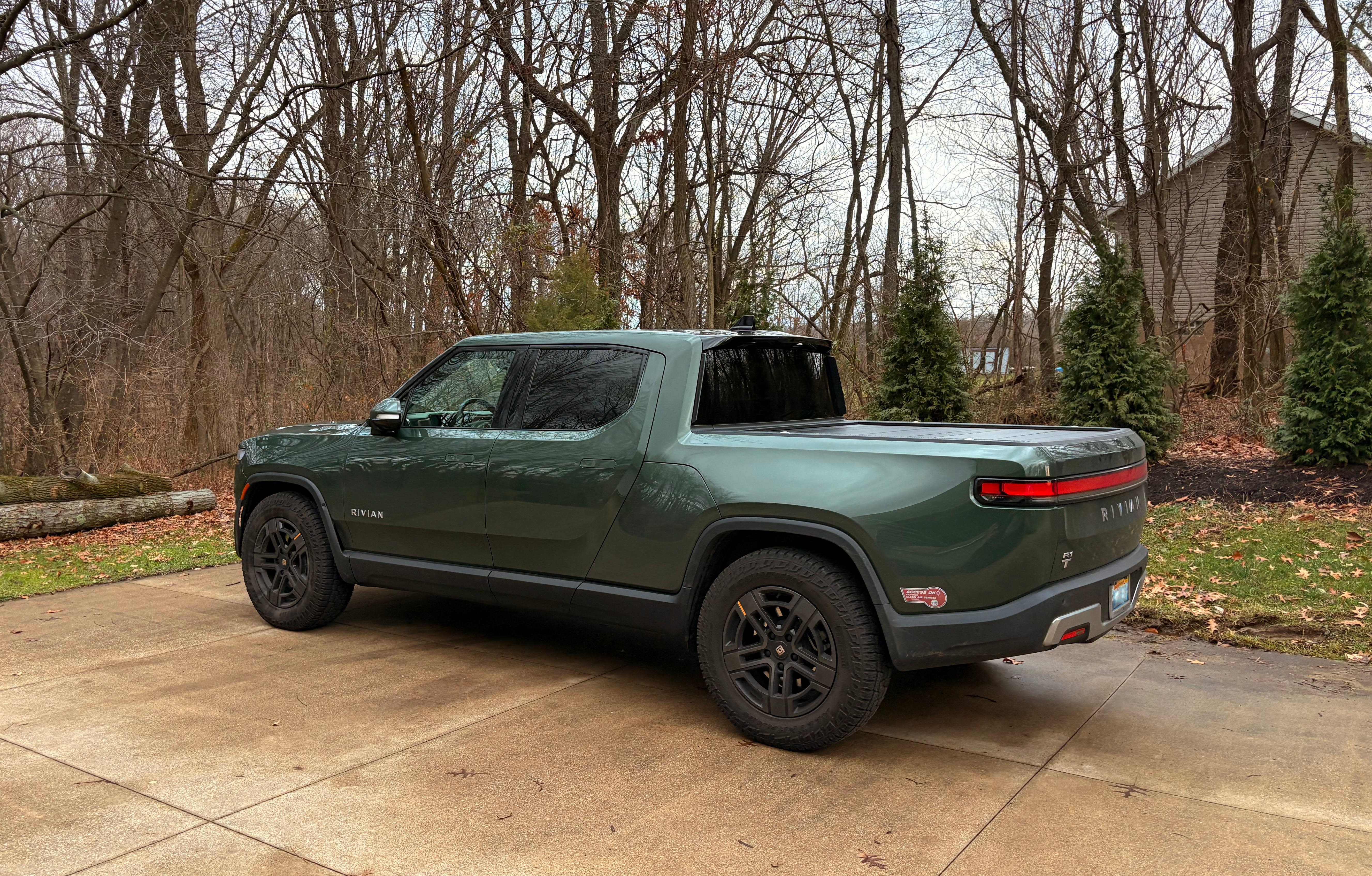
We made it to Nebraska a little bit before sunset, crossing the Missouri river and entering Omaha. For a brief while the flat land gave way to hills again, though this wouldn’t last long, before returning to the flat snow-covered landscape. We stopped again in Lincoln, to charge and switch drivers. Now totally dark, we also started to encounter other weather as well. Fog came and went, but got thicker throughout the night, and in the sub-freezing (28°F) temperatures it began to freeze to the car as well. At one point we had to pull over and chisel ice off the windshield, and shortly after that the Rivian’s sensors started to go offline one by one due to the buildup of ice.
This area was clearly accustomed to the inclement weather, as the highway was dotted with signs to warn if the the road would be closed up ahead, and all the on ramps were fitted with gates to stop traffic if needed. We didn’t see any of these in use, and fortunately made it to our hotel by 23:00, where we once again charged up before going to bed.
Day 3: Jan 4th (NE, WY, UT)
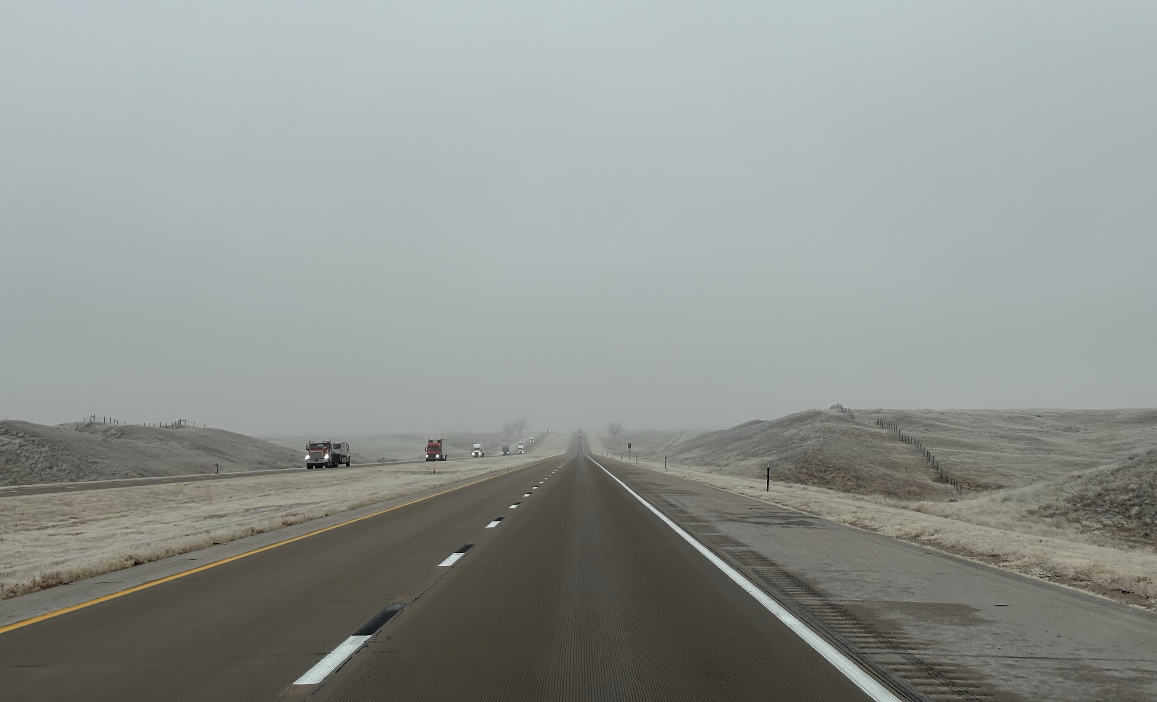
The fog continued in the morning, and, much like the start of our trip, we woke up barely able to see across the street. Today was even colder, about 19°F, and the roads had gotten icy from frozen condensation as well. The going was slow but steady, and we didn’t see many cars on the road. We didn’t see much of anything, really. The fog limited vision to just the sides of the highway, but even on the map, we could tell there wasn’t much around. About every 25 miles we would see another town, but they were all tiny by any standard.
Around noon we made it to Wyoming, but the fog persisted, and if things looked much different from Nebraska, we couldn’t tell. About an hour later we stopped at a mall to charge and walked over to a Perkins for lunch. Myke had tried to find one earlier in Ohio since it was a regular hang-out place when he was growing up, but it had closed down. It was a half-mile walk from the charger on the other side of the mall and it was nice to make the stop.
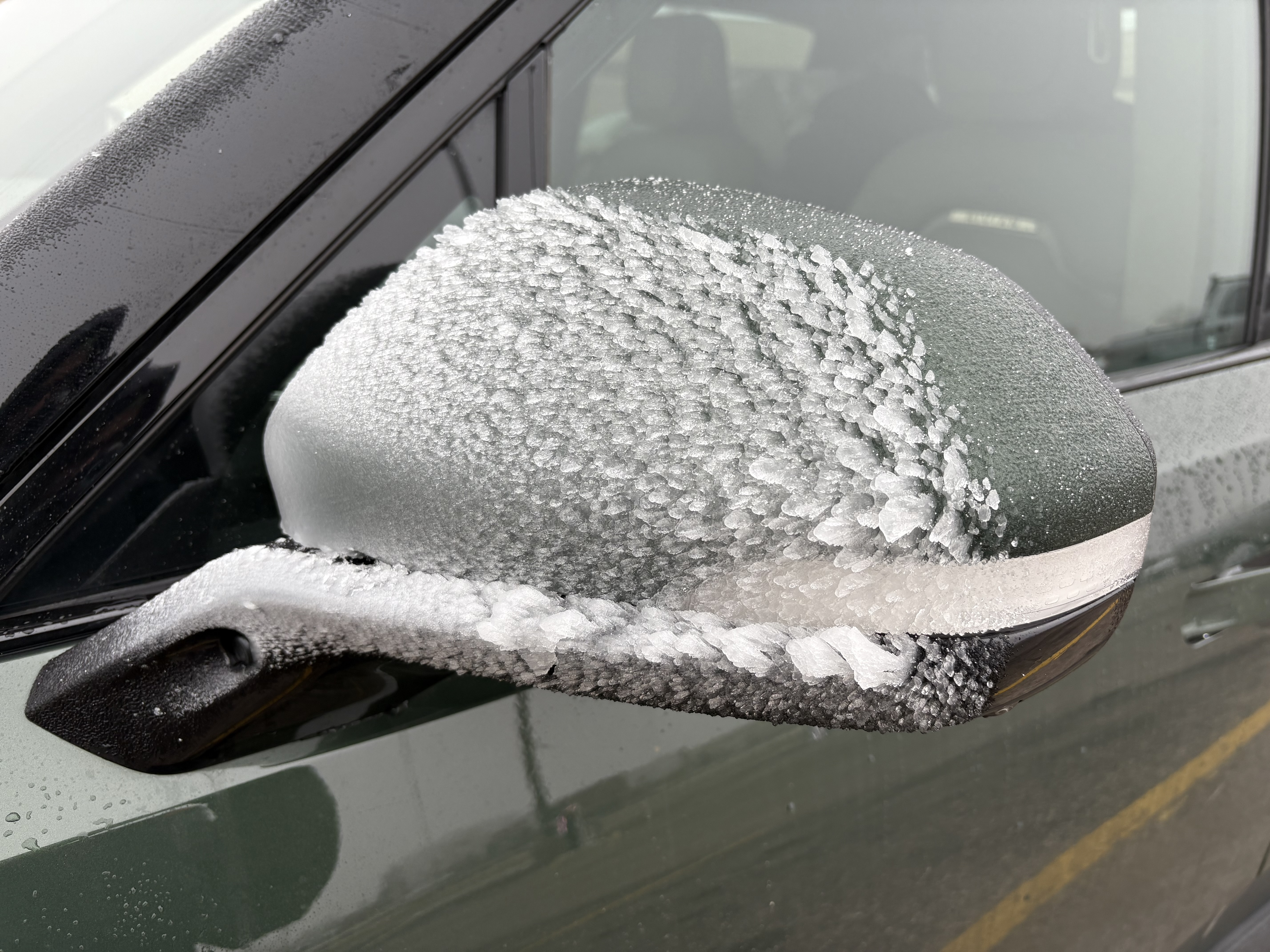
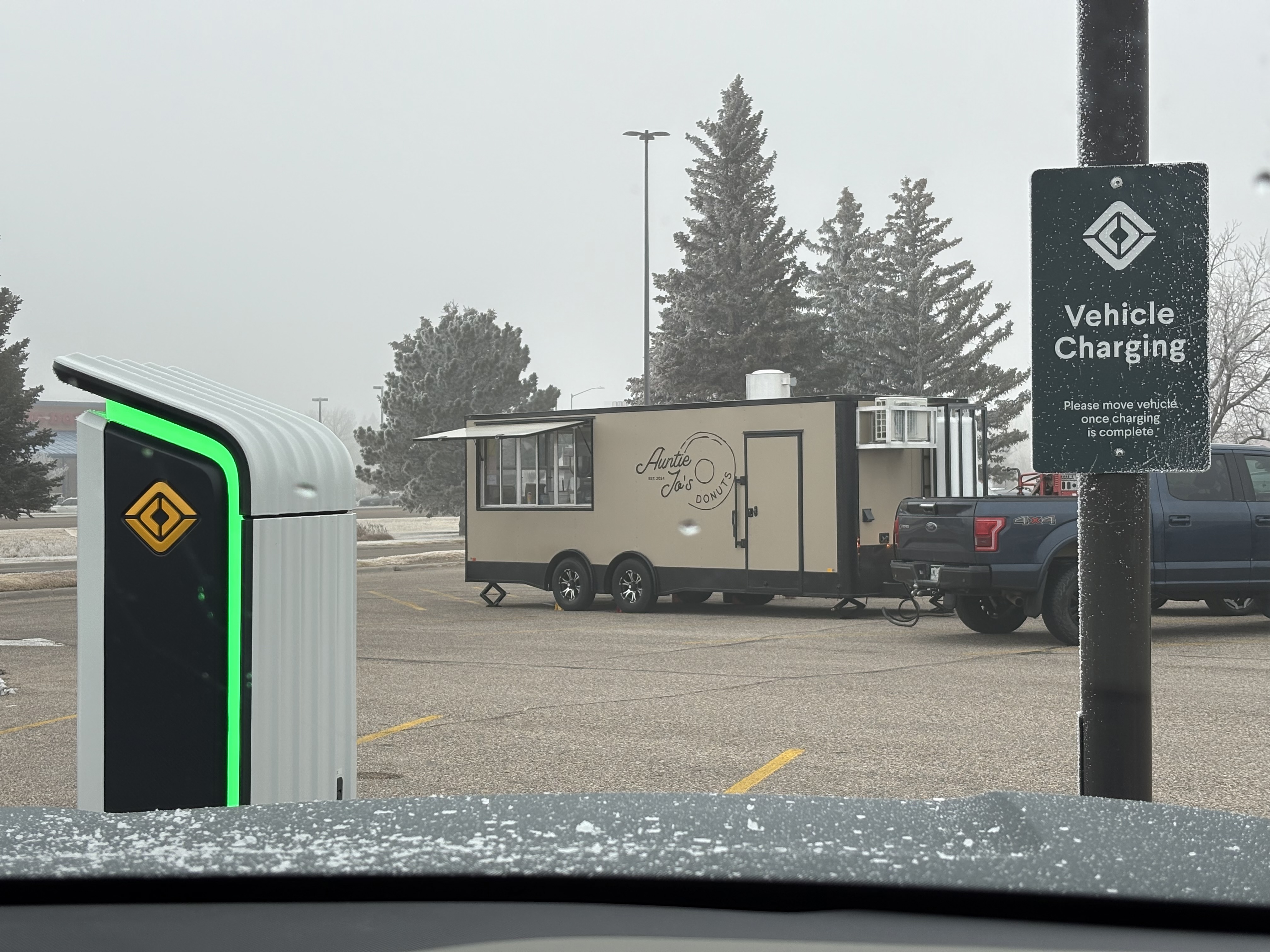
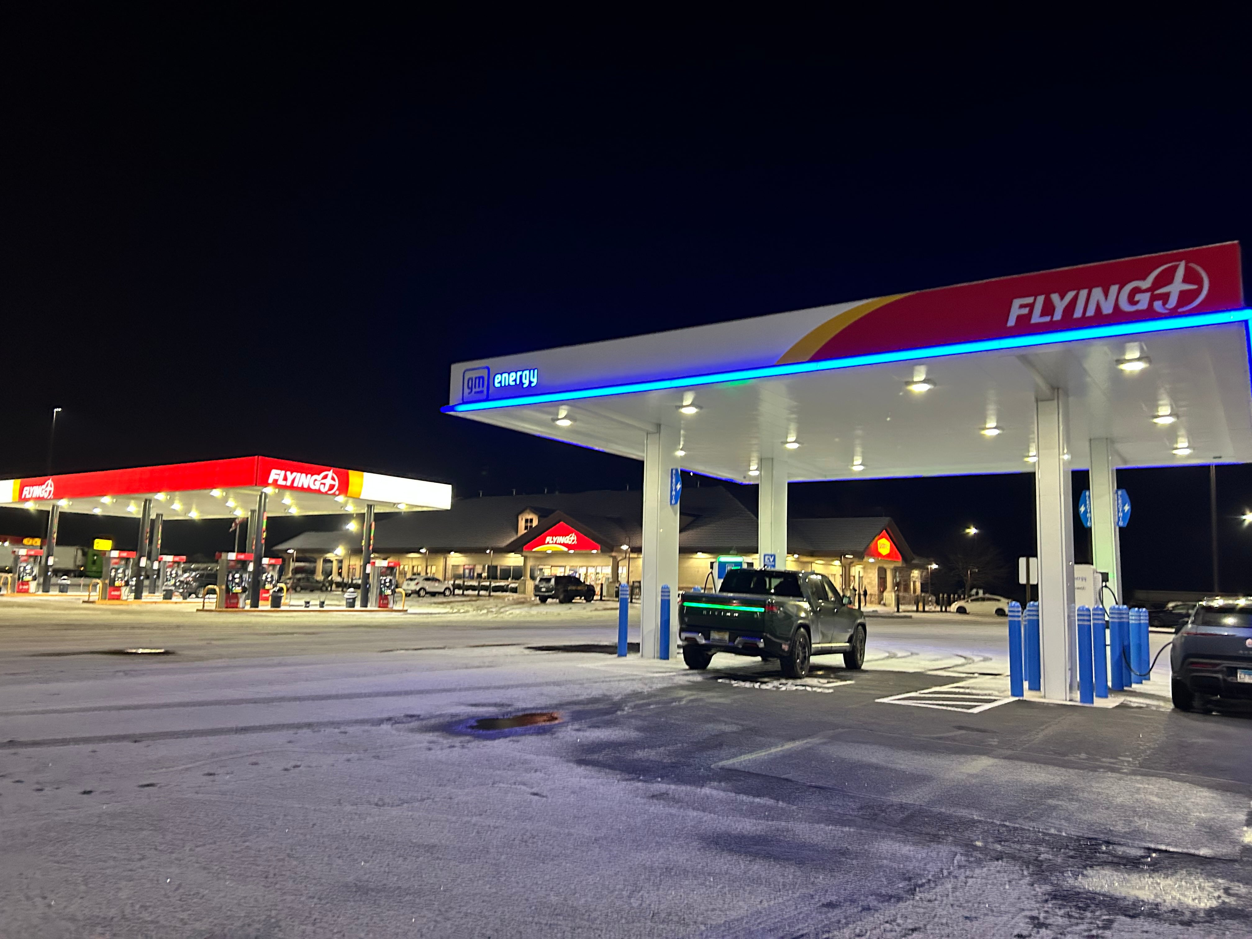
Afterwards, we also stopped by a donut truck parked right in front of the EV chargers. The ice had continued to build up on the Rivian, which looked cool, but needed to be cleaned off before we continued on. This was our first Rivian network charger of the return trip. They’re super convenient, since you only need to plug in the car and it automatically looks up your account, but they’re pretty few and far between compared to Tesla or Electrify America[1].
After lunch, we were treated to a small break in the fog. For about an hour, as we drove through a valley, it all abated and we got to see some quite beautiful scenery. In a lot of ways it reminded me of Arizona, but with bigger mountains, and a more gradual curve to the landscape. Plants were still sparse, but not as much as they had been in the south. Sadly, this didn’t last, and eventually the fog returned.
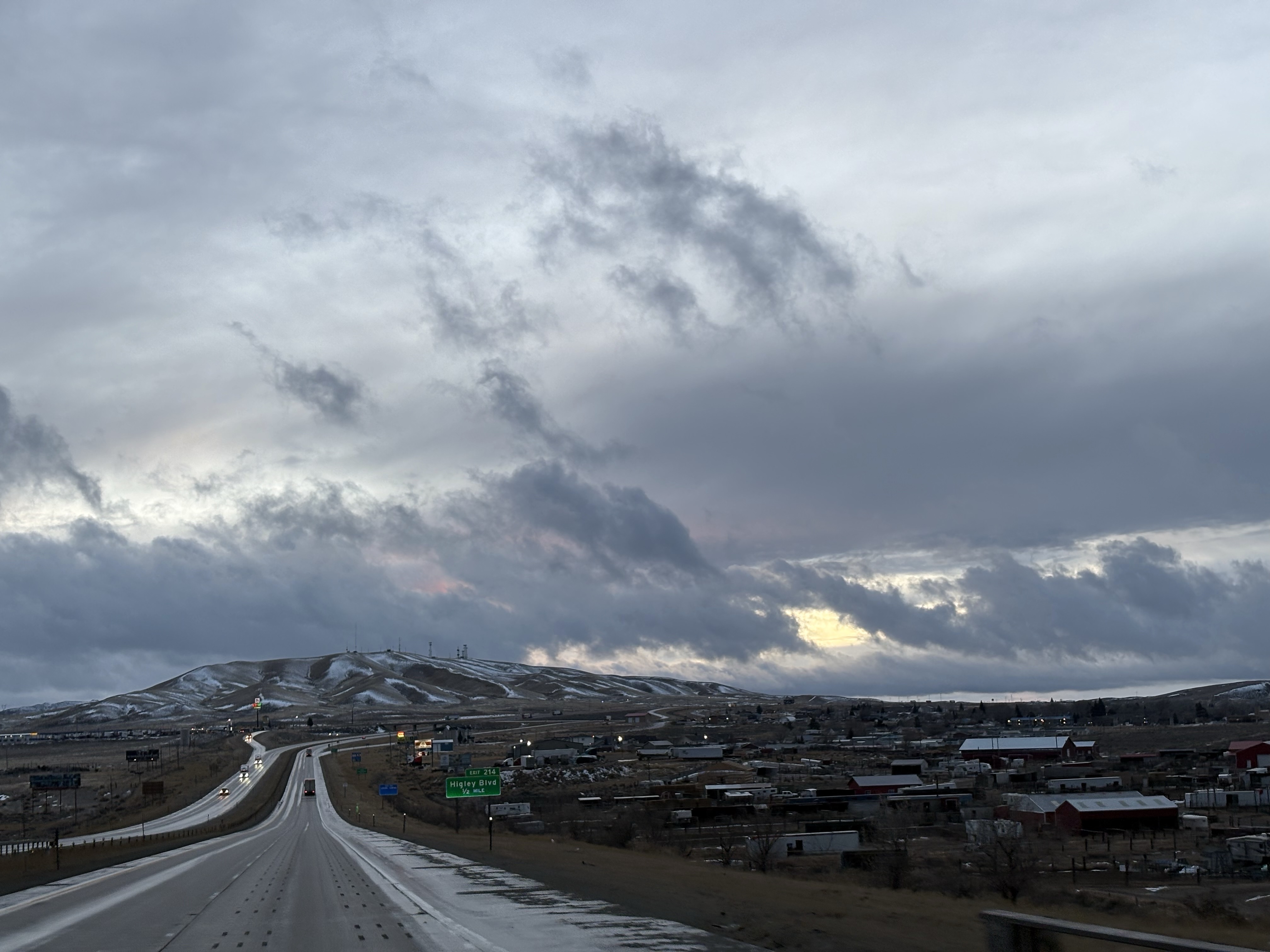
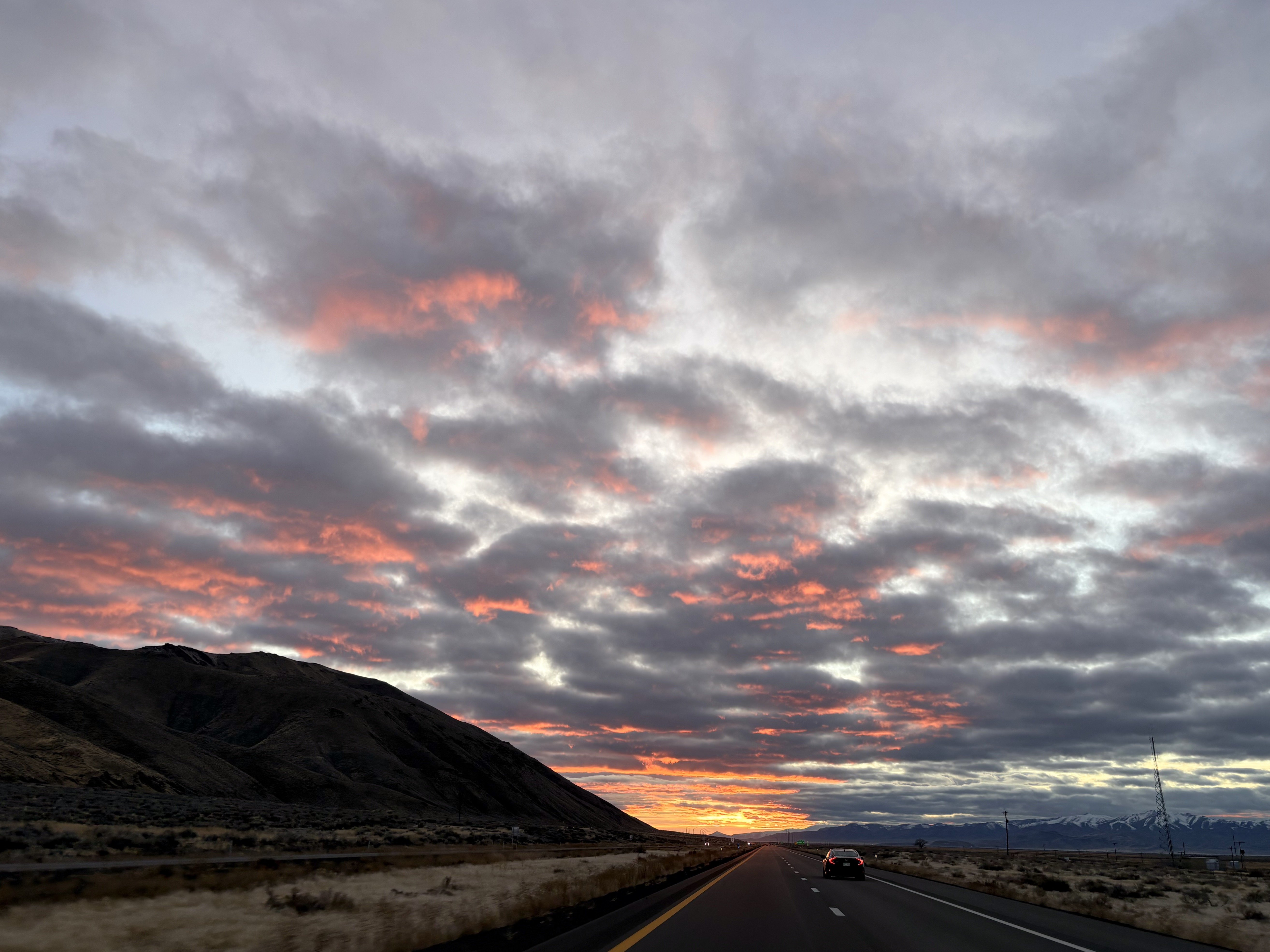
Once night fell, it worsened even farther, and for the last 40 or 60 miles before the Utah border black ice took us down to a crawl. After two excruciating hours of driving, we stopped one last time to charge in Evansville, WY, just before the border.
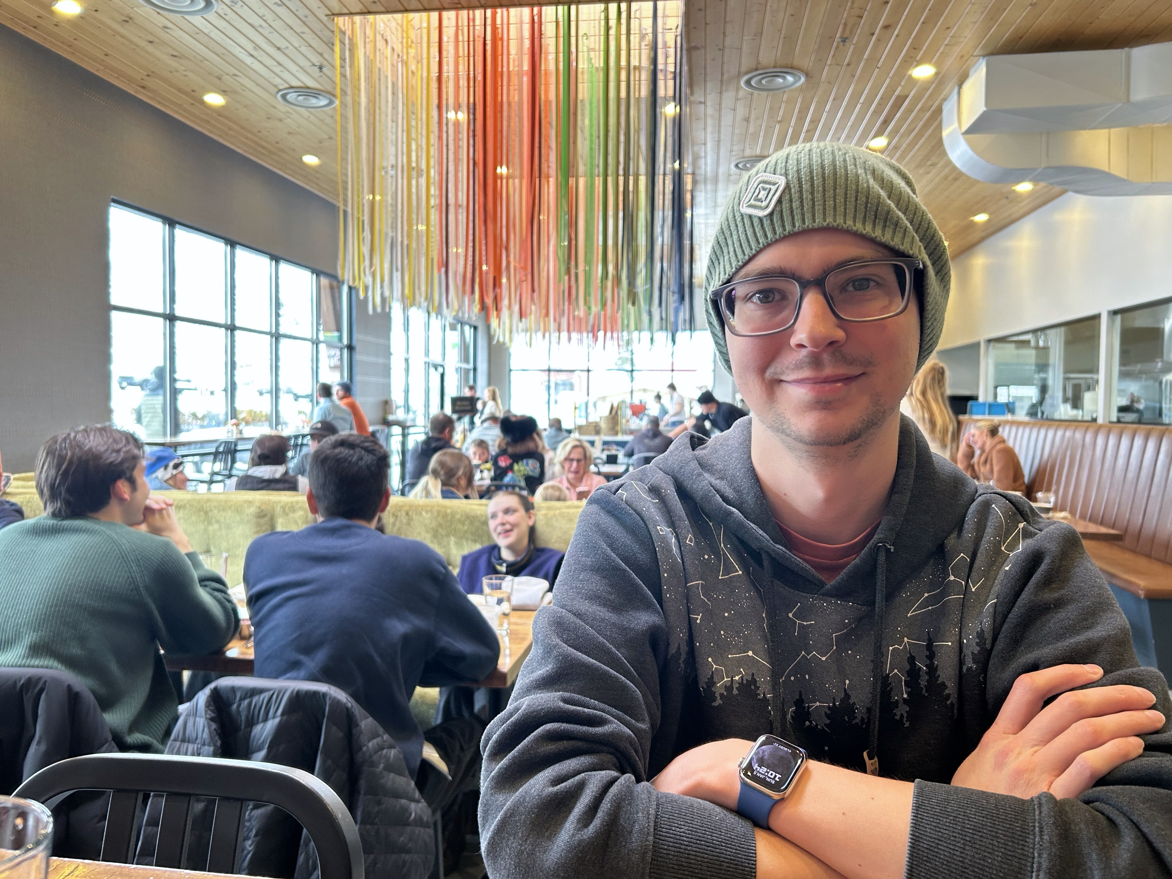
Tonight we were staying with our friend Devin, who had been texting us for updates, and assured us that the roads in Utah would be completely clear. I was skeptical, but after we got back on the highway and crossed the state line all the ice vanished, and suddenly we could drive the speed limit again. We were also surprised to be driving downhill. It hadn’t felt like we’d picked up much altitude, but for most of the trip into Salt Lake City, we were heading down. I’m sure the passes we drove through are stunning in the daylight, but sadly all we saw was darkness (with the exception of a couple trains and one beautiful view of city lights while coming down into SLC).
Day 4: Jan 5th (UT, NV, CA)
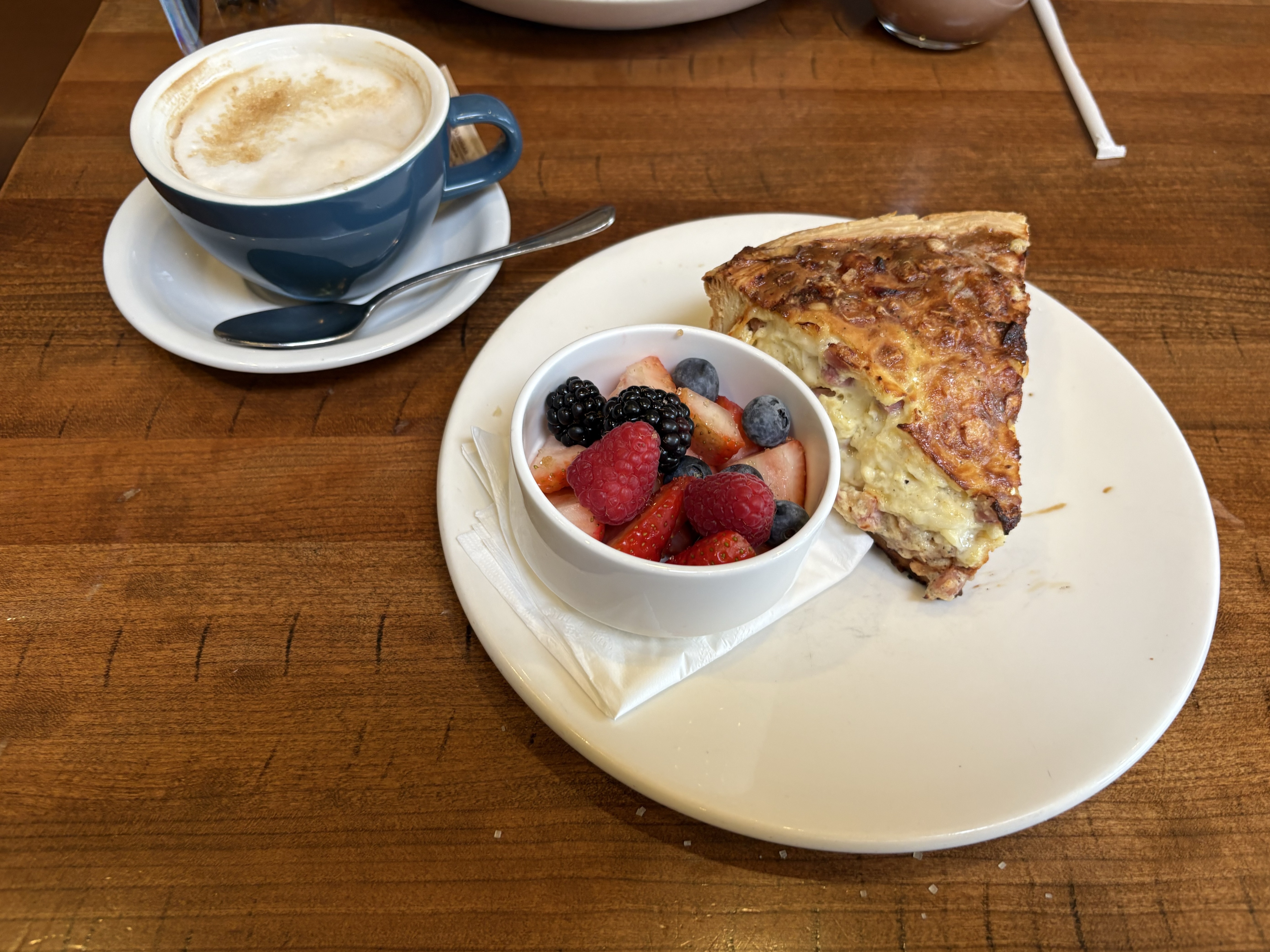
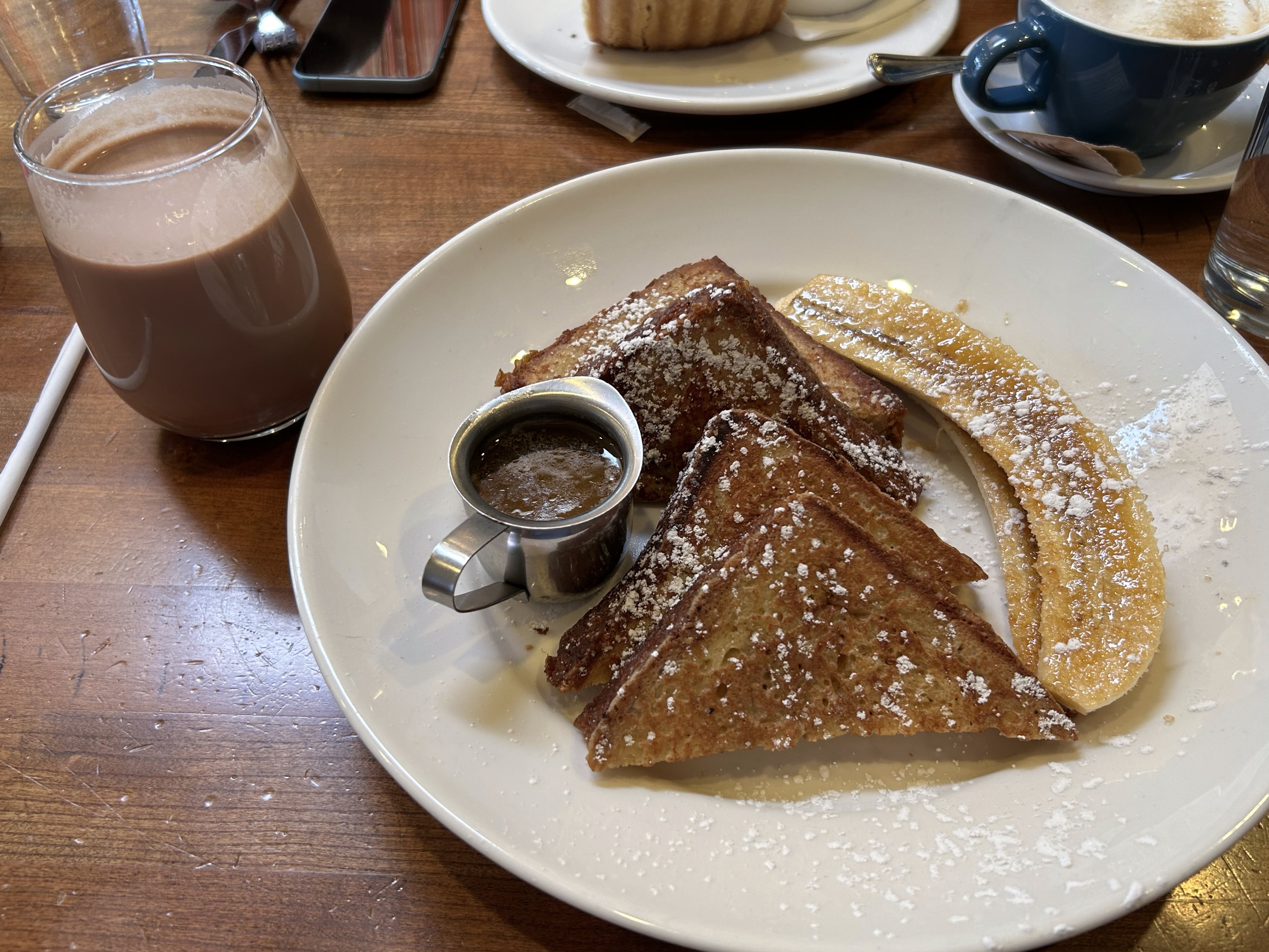
Utah was much prettier during the day and we awoke to a gorgeous view of the mountains[2] out of the windows in Devin’s guest bedroom. He had already gotten up at the crack of dawn to be the first one on the slopes. We locked up the house and looked for breakfast. We found this really cute place called Beaumont Bakery & Cafe. We were expecting an order-at-the-counter type place but it was a sit-down restaurant with service which took a little longer but the food was delicious. Myke had the Croissant Loaf French Toast and James had a Quiche. We both got pastries to go for the next day, back at home.
Myke wanted to show James the SLC Mormon temple, which was only about 10 minutes out of our way. On the drive, he explained how all of the streets show you the distance and cardinal direction to the temple. Unfortunately the whole temple grounds had construction fences up, so we weren’t really able to see anything.
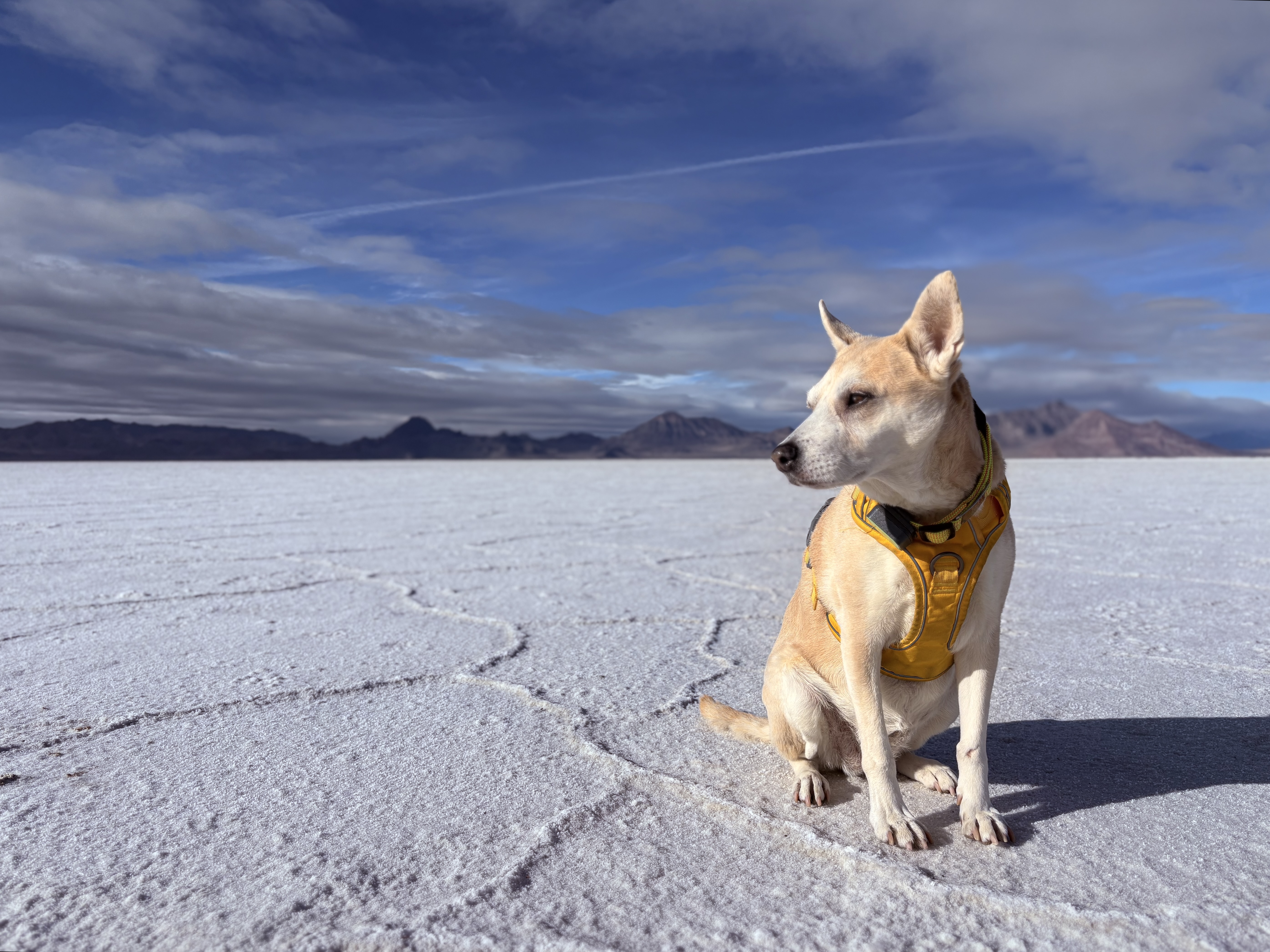
To make up for the lackluster city stop, we instead pulled over at a rest stop along Bonneville Salt Flats. The scale of the landscape here is hard to capture, but it was a great chance to stretch our legs and let Chelsea run around, while also taking some great photos. In retrospect, we should have made more stops like this, but we always seemed to be just a little bit behind schedule. I had trouble narrowing our photos down, so enjoy some of our favorites.
When we finally made it to Nevada we were impressed by just how much it looked like Nevada. That’s hard to properly explain, but even though the landscape didn’t change much… we could tell 😅. Nevada was, as expected, flat and easy driving the whole way through, though not without some bumps. The first issue we had was our GPS taking us to a nonexistent charger. One out of 40 isn’t bad, but after getting off the highway we noticed strange directions to drive about three more miles. This was unexpected, since the town we were stopping off at wasn’t very large, and when we arrived at our charger we instead found an abandoned tow truck yard. After consulting the map, we instead drove three and a half miles back, to where we found an actual charger in the parking lot of a Walmart.
Our other issue started about two hours from Reno, when cell service started to drop. We noticed this when the Rivian’s highway assist feature started to disengage, even though we were on a major highway. A few minutes later the radio (streaming SiriusXM over the car’s cellular connection) also gave out. We dipped in and out of cellular range a few more times, and were pretty surprised to learn that the car’s highway assist seemed to require it. We were also surprised at the lack of connectivity in the first place. Even the back roads in Alabama had a few bars!
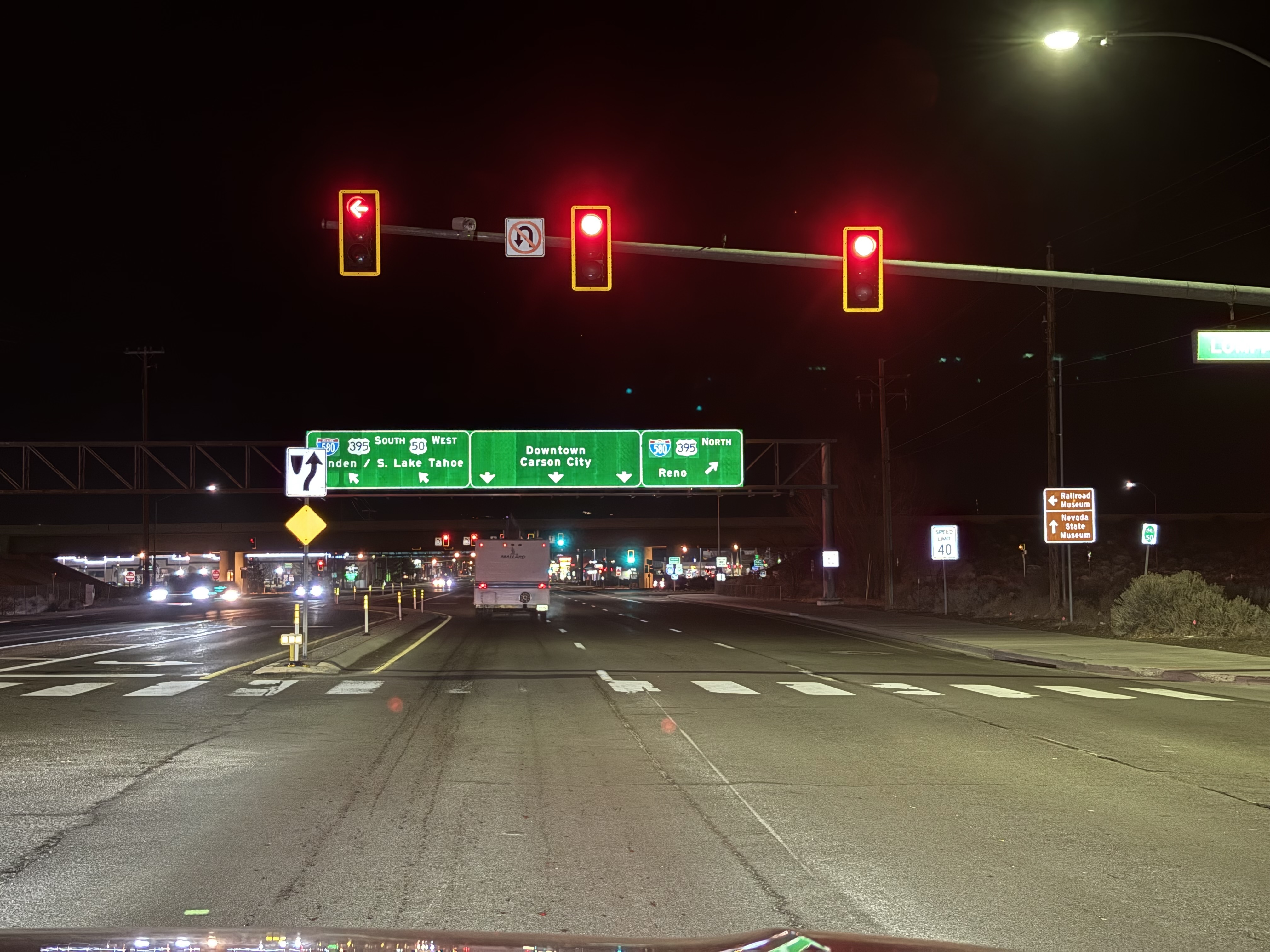
Eventually we made it to Carson City, coming in the back way, before heading on to the familiar drive up US-50, past the east side of the lake, and then back home to South Lake Tahoe. It was a long journey, but getting to see our friends and family along the way made it worth it. And of course, the best part was getting to take Chelsea along with us too!
Day 5: Jan 6th (CA)
Not entirely done, we worked from Tahoe on Monday, but still had to drive back to San Jose for work on Thursday. This was a mere four hour trip, at least without snow, and very familiar to us.
Final Thoughts
Looking back, we had a great time on this road trip. It was honestly easier going than we expected, even with our aggressive time tables for driving. Having said that, it’s also not something we’re looking to do again in a hurry. Taking our truck also let us bring home some bulkier stuff from our parents’ places than when we fly. We were a hoping to fit in a bit more, but it definitely made a dent.
Myke also kept meticulous notes about all our charging stops, hotel costs, and other errata. It probably won’t be helpful to anyone else, but we do like our numbers (and in Numbers too, of course). That’s available in Part 3, linked below.
Related Links
- Collection: Roadtrip Diary
- Part 1: California to Alabama
- Part 2: Alabama to Ohio, and back to California
- Part 3: The Roadtrip in Numbers
- Photos: The Tuxon in Tucson
1 The Tesla chargers are usually cheaper (especially when you pay the $15/month membership for Tesla owner pricing). Electrify America chargers are the most expensive, and not as well taken care of, but we didn’t have any problems with them. ↩
2 Seriously. We took so many more photos on this day than any other. I didn’t know what to do with them all. ↩